Type above and press Enter to search. Press Close to cancel.
Acubes IT Services specializes in recruiting for both IT and non-IT process-es with a dedicated focus on talent acquisition.
Plot No. 13/2/A/1, 1st Floor, Kajaguda, Gachibowli, Hyderabad, Telengana-850032, India.


Data in many different forms can be entered into GIS. Data that are already in map form can be
included in GIS. This includes such information as the location of rivers and roads, hills and
valleys. Digital, or computerized, data can also be entered into GIS. An example of this kind of
information is data collected by satellites that show land use the location of farms, towns,
or forests. GIS can also include data in table form, such as population information. GIS
technology allows all these different types of information, no matter their source or original
format, to be overlaid on top of one another on a single map.
Putting information into GIS is called data capture. Data that are already in digital form, such
as images taken by satellites and most tables, can simply be uploaded into GIS. Maps must
be scanned, or converted into digital information.
GIS must make the information from all the various maps and sources align, so they fit
together. One reason this is necessary is because maps have different scales. A scale is the
relationship between the distance on a map and the actual distance on Earth. GIS combines
the information from different sources in such a way that it all has the same scale.
Autodesk AutoCAD Map 3D software provides access to GIS and mapping data to support
planning, design, and data management. Intelligent models and CAD tools help you to apply
regional and discipline-specific standards. Integration of GIS data with your organization helps
to improve quality, productivity, and asset management.
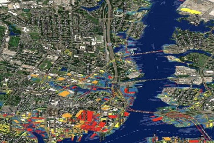
GIS and CAD technologies are used to capture, manipulate, analyze and present spatial data.
We use a range of GIS and CAD systems – both industry-standard systems such as ArcGIS,
MapInfo and AutoCAD, as well as specially developed in-house software, to add value to
geographical investigation and analysis.
Data capture and presentation Our data capture strategies ensure that we capture project
information to the required standard only once; efficiently making data available to co-workers
and clients in a timely manner. We offer site-based inventory and mapping services as well as
desk-based digitization using CAD and GIS.

 Comprehensive Spatial Data Management